
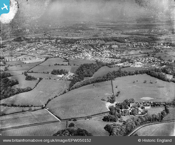
EPW050152 ENGLAND (1936). Blashaw Dam Wood, housing under construction along Stanley Grove, and the town, Penwortham, from the west, 1936
© Copyright OpenStreetMap contributors and licensed by the OpenStreetMap Foundation. 2026. Cartography is licensed as CC BY-SA.
Nearby Images (2)
EPW050152

EPW050155

Details
| Title | [EPW050152] Blashaw Dam Wood, housing under construction along Stanley Grove, and the town, Penwortham, from the west, 1936 |
| Reference | EPW050152 |
| Date | May-1936 |
| Link | |
| Place name | PENWORTHAM |
| Parish | PENWORTHAM |
| District | |
| Country | ENGLAND |
| Easting / Northing | 350823, 428191 |
| Longitude / Latitude | -2.7458000881544, 53.747548491464 |
| National Grid Reference | SD508282 |
