
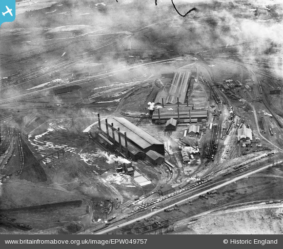
EPW049757 ENGLAND (1936). The Steelworks, Scunthorpe, 1936
© Copyright OpenStreetMap contributors and licensed by the OpenStreetMap Foundation. 2026. Cartography is licensed as CC BY-SA.
Nearby Images (6)
EPW049757

EPW049762

EPW052040

EPW049764

EPW049750

EPW049763

Details
| Title | [EPW049757] The Steelworks, Scunthorpe, 1936 |
| Reference | EPW049757 |
| Date | March-1936 |
| Link | |
| Place name | SCUNTHORPE |
| Parish | |
| District | |
| Country | ENGLAND |
| Easting / Northing | 491292, 411268 |
| Longitude / Latitude | -0.62063355192211, 53.589793752 |
| National Grid Reference | SE913113 |
Pins
Be the first to add a comment to this image!