
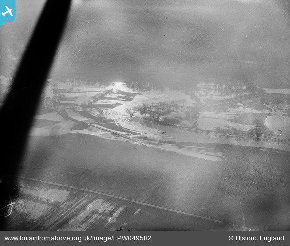
EPW049582 ENGLAND (1936). The River Thames in flood at Royal Windsor Racecourse, Windsor, 1936
© Copyright OpenStreetMap contributors and licensed by the OpenStreetMap Foundation. 2026. Cartography is licensed as CC BY-SA.
Nearby Images (4)
EPW049582

EAW026467

EAW026470

EAW026469

Details
| Title | [EPW049582] The River Thames in flood at Royal Windsor Racecourse, Windsor, 1936 |
| Reference | EPW049582 |
| Date | January-1936 |
| Link | |
| Place name | WINDSOR |
| Parish | |
| District | |
| Country | ENGLAND |
| Easting / Northing | 495449, 177711 |
| Longitude / Latitude | -0.62505211393316, 51.489795707342 |
| National Grid Reference | SU954777 |
Pins

Class31 |
Friday 17th of May 2013 02:13:03 PM | |
|
Class31 |
Friday 17th of May 2013 02:12:26 PM | |
|
Class31 |
Friday 17th of May 2013 02:10:18 PM | |
|
Class31 |
Friday 17th of May 2013 02:09:03 PM |
User Comment Contributions
Flooding. If the photo date is accurate, is this the Thames at Windsor ? |

BigglesH |
Tuesday 2nd of July 2013 03:42:24 PM |
In short, yes, this is a shot looking south over Windsor Race Course. |
Class31 |
Friday 17th of May 2013 02:07:31 PM |
Another image in this difficult group of Thames flooding; thanks for taking the time to look at them! We'll update the catalogue and post the new record here in due course. Yours, Katy Britain from Above Cataloguing Team Leader |
Katy Whitaker |
Tuesday 2nd of July 2013 03:42:24 PM |