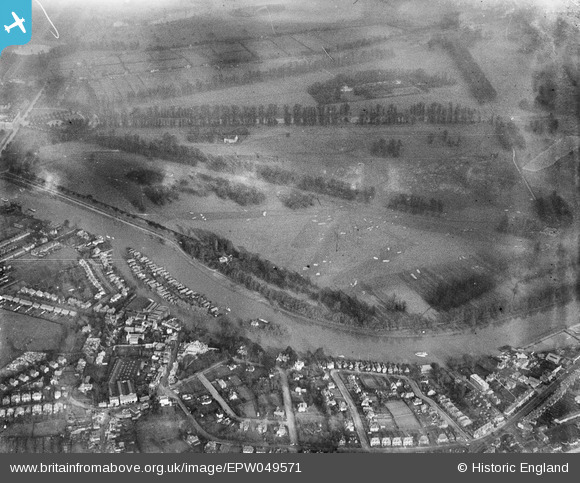
EPW049571 ENGLAND (1936). Hampton Court Park Golf Course, Hampton Court Park, 1936
    © Copyright OpenStreetMap contributors and licensed by the OpenStreetMap Foundation. 2025. Cartography is licensed as CC BY-SA.
  
Details
| Title | [EPW049571] Hampton Court Park Golf Course, Hampton Court Park, 1936 | 
| Reference | EPW049571 | 
| Date | January-1936 | 
| Link | |
| Place name | HAMPTON COURT PARK | 
| Parish | |
| District | |
| Country | ENGLAND | 
| Easting / Northing | 516434, 167694 | 
| Longitude / Latitude | -0.32618427267018, 51.395823056127 | 
| National Grid Reference | TQ164677 | 
Pins
|  Terminal point of trolleybus Route 602 . This route ran from here and around the Kingston Loop in an anticlockwise direction. With a frequency of 12 minutes between buses this made the "Dittons" the least used terminal of all London's trolleybus routes. Despite this route being a bit of a backwater it was one of the first to commence (29th July 1931) and ran untill the very last day of London's trolleybuses (8th May 1962). Like all the other 4 routes that were inaugurated by London United tramways, operating out of Fulwell depot, Type A "Diddler" trolleybuses were used until replacement in 1948. |   Nowy Paul | Saturday 2nd of December 2017 02:10:14 PM | 
 
             
  ![[EPW049571] Hampton Court Park Golf Course, Hampton Court Park, 1936](http://britainfromabove.org.uk/sites/all/libraries/aerofilms-images/public/100x100/EPW/049/EPW049571.jpg) 
  
                                          ![[EAW003679] The River Thames in flood surrounding Thames Ditton Island, Thames Ditton, from the north-east, 1947](http://britainfromabove.org.uk/sites/all/libraries/aerofilms-images/public/100x100/EAW/003/EAW003679.jpg)