
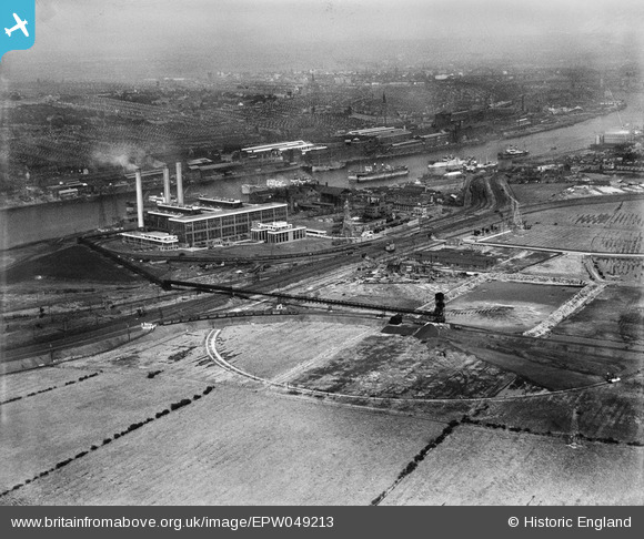
EPW049213 ENGLAND (1935). Dunston A and B Power Stations, Dunston, from the south-west, 1935
© Copyright OpenStreetMap contributors and licensed by the OpenStreetMap Foundation. 2026. Cartography is licensed as CC BY-SA.
Nearby Images (4)
EPW049213

EPW049215

EPW049208

EPW049210

Details
| Title | [EPW049213] Dunston A and B Power Stations, Dunston, from the south-west, 1935 |
| Reference | EPW049213 |
| Date | September-1935 |
| Link | |
| Place name | DUNSTON |
| Parish | |
| District | |
| Country | ENGLAND |
| Easting / Northing | 421400, 562565 |
| Longitude / Latitude | -1.6657832900497, 54.957187297281 |
| National Grid Reference | NZ214626 |
Pins
Be the first to add a comment to this image!