
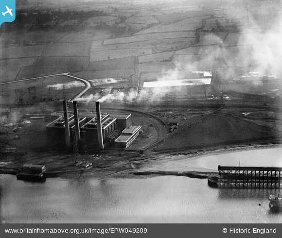
EPW049209 ENGLAND (1935). Dunston B Power Station, Dunston, 1935
© Copyright OpenStreetMap contributors and licensed by the OpenStreetMap Foundation. 2026. Cartography is licensed as CC BY-SA.
Nearby Images (5)
EPW049209

EPW049216

EPW049214

EPW049211

EPW049212

Details
| Title | [EPW049209] Dunston B Power Station, Dunston, 1935 |
| Reference | EPW049209 |
| Date | September-1935 |
| Link | |
| Place name | DUNSTON |
| Parish | |
| District | |
| Country | ENGLAND |
| Easting / Northing | 421719, 562843 |
| Longitude / Latitude | -1.6607803257251, 54.959671923724 |
| National Grid Reference | NZ217628 |
Pins
User Comment Contributions
The power station site is now (Costco discount warehouse) and all the open space behind is now the Metro Centre, Gateshead |

Julesuk |
Saturday 22nd of December 2012 04:47:39 PM |