
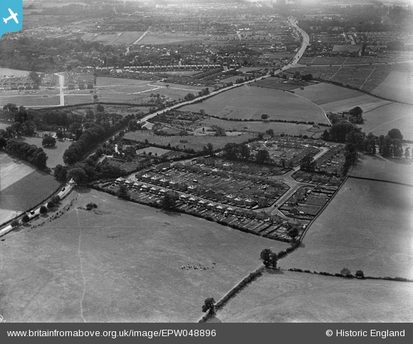
EPW048896 ENGLAND (1935). Housing estate surrounding Merewood Avenue, Burdell Avenue and Delbush Avenue, Sandhills, 1935
© Copyright OpenStreetMap contributors and licensed by the OpenStreetMap Foundation. 2026. Cartography is licensed as CC BY-SA.
Nearby Images (8)
EPW048896

EPW048894

EPW048898

EPW048892

EPW048891

EPW048897

EPW048895

EPW048893

Details
| Title | [EPW048896] Housing estate surrounding Merewood Avenue, Burdell Avenue and Delbush Avenue, Sandhills, 1935 |
| Reference | EPW048896 |
| Date | August-1935 |
| Link | |
| Place name | SANDHILLS |
| Parish | RISINGHURST AND SANDHILLS |
| District | |
| Country | ENGLAND |
| Easting / Northing | 456395, 207593 |
| Longitude / Latitude | -1.1827310569004, 51.763722315136 |
| National Grid Reference | SP564076 |
Pins
Be the first to add a comment to this image!