
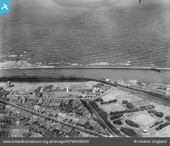
EPW048839 ENGLAND (1935). Bath Terrace, the South Side Staiths, Ridley Park and environs, Blyth, 1935
© Copyright OpenStreetMap contributors and licensed by the OpenStreetMap Foundation. 2026. Cartography is licensed as CC BY-SA.
Nearby Images (5)
EPW048839

EPW048828

EPW048826

EPW048820

EAW052311

Details
| Title | [EPW048839] Bath Terrace, the South Side Staiths, Ridley Park and environs, Blyth, 1935 |
| Reference | EPW048839 |
| Date | August-1935 |
| Link | |
| Place name | BLYTH |
| Parish | EAST BEDLINGTON |
| District | |
| Country | ENGLAND |
| Easting / Northing | 432208, 581466 |
| Longitude / Latitude | -1.4948614209616, 55.126465962458 |
| National Grid Reference | NZ322815 |
Pins
User Comment Contributions
The shipping staiths, Blyth- a detail from a late nineteenth-century photo giving an indication of the transfer procedure from high-level coal wagons to cargo vessels here: www.flickr.com/photos/36891793@N08/8210934665/ Bates Colliery, nearby, was still at work into the 1960s, I think. By 1930 Blyth was exporting 5.5 million tons of coal a year [Wikipedia] |

MB |
Saturday 19th of October 2013 11:32:11 PM |