
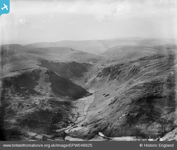
EPW048625 ENGLAND (1935). The northern end of the Longsleddale Valley, Longsleddale, from the south-east, 1935
© Copyright OpenStreetMap contributors and licensed by the OpenStreetMap Foundation. 2025. Cartography is licensed as CC BY-SA.
Nearby Images (2)
EPW048625

EPW048626

Details
| Title | [EPW048625] The northern end of the Longsleddale Valley, Longsleddale, from the south-east, 1935 |
| Reference | EPW048625 |
| Date | July-1935 |
| Link | |
| Place name | LONGSLEDDALE |
| Parish | LONGSLEDDALE |
| District | |
| Country | ENGLAND |
| Easting / Northing | 348045, 507099 |
| Longitude / Latitude | -2.8014855969284, 54.456479793297 |
| National Grid Reference | NY480071 |
Pins
Be the first to add a comment to this image!