
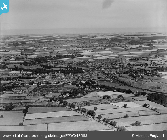
EPW048563 ENGLAND (1935). The town and surrounding countryside, Malton, from the west, 1935
© Copyright OpenStreetMap contributors and licensed by the OpenStreetMap Foundation. 2026. Cartography is licensed as CC BY-SA.
Nearby Images (5)
EPW048563

EPW048553

EPW048543

EPW048557

EPW048551

Details
| Title | [EPW048563] The town and surrounding countryside, Malton, from the west, 1935 |
| Reference | EPW048563 |
| Date | July-1935 |
| Link | |
| Place name | MALTON |
| Parish | MALTON |
| District | |
| Country | ENGLAND |
| Easting / Northing | 477963, 471553 |
| Longitude / Latitude | -0.8066552032512, 54.133726322494 |
| National Grid Reference | SE780716 |
Pins

AJC R |
Thursday 13th of April 2023 04:10:49 AM |