
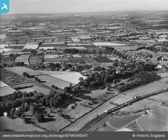
EPW048547 ENGLAND (1935). Countryside surrounding the town, Malton, from the south, 1935
© Copyright OpenStreetMap contributors and licensed by the OpenStreetMap Foundation. 2026. Cartography is licensed as CC BY-SA.
Nearby Images (3)
EPW048547

EPW048538

EPW048550

Details
| Title | [EPW048547] Countryside surrounding the town, Malton, from the south, 1935 |
| Reference | EPW048547 |
| Date | July-1935 |
| Link | |
| Place name | MALTON |
| Parish | MALTON |
| District | |
| Country | ENGLAND |
| Easting / Northing | 478036, 471203 |
| Longitude / Latitude | -0.8056285838687, 54.130569948017 |
| National Grid Reference | SE780712 |
Pins
Be the first to add a comment to this image!