
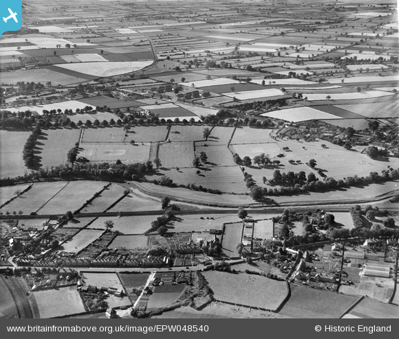
EPW048540 ENGLAND (1935). Countryside surrounding the town, Malton, 1935
© Copyright OpenStreetMap contributors and licensed by the OpenStreetMap Foundation. 2026. Cartography is licensed as CC BY-SA.
Nearby Images (3)
EPW048540

EPW048536

EPW048572

Details
| Title | [EPW048540] Countryside surrounding the town, Malton, 1935 |
| Reference | EPW048540 |
| Date | July-1935 |
| Link | |
| Place name | MALTON |
| Parish | MALTON |
| District | |
| Country | ENGLAND |
| Easting / Northing | 479624, 472154 |
| Longitude / Latitude | -0.78107872179861, 54.13887253111 |
| National Grid Reference | SE796722 |
Pins

PinzaC55 |
Saturday 4th of July 2020 08:01:09 PM |