
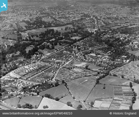
EPW048210 ENGLAND (1935). Little Herbert's Lane, Charlton Park and environs, Charlton Kings, from the south-east, 1935
© Copyright OpenStreetMap contributors and licensed by the OpenStreetMap Foundation. 2025. Cartography is licensed as CC BY-SA.
Nearby Images (2)
EPW048210

EPW048209

Details
| Title | [EPW048210] Little Herbert's Lane, Charlton Park and environs, Charlton Kings, from the south-east, 1935 |
| Reference | EPW048210 |
| Date | July-1935 |
| Link | |
| Place name | CHARLTON KINGS |
| Parish | CHARLTON KINGS |
| District | |
| Country | ENGLAND |
| Easting / Northing | 396596, 220174 |
| Longitude / Latitude | -2.049456740529, 51.879681304003 |
| National Grid Reference | SO966202 |
Pins
 |

calladhor |
Tuesday 28th of May 2013 09:48:02 PM |