
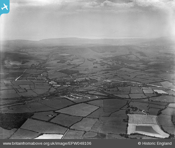
EPW048106 ENGLAND (1935). The town and surrounding countryside, Polegate, from the north-east, 1935
© Copyright OpenStreetMap contributors and licensed by the OpenStreetMap Foundation. 2026. Cartography is licensed as CC BY-SA.
Nearby Images (5)
EPW048106

 0°
0m
0°
0m
EPW048114
 22°
111m
22°
111m
EPW048107
 184°
216m
184°
216m
EPW048105
 160°
257m
160°
257m
EPW048108
 232°
265m
232°
265m
Details
| Title | [EPW048106] The town and surrounding countryside, Polegate, from the north-east, 1935 |
| Reference | EPW048106 |
| Date | July-1935 |
| Link | |
| Place name | POLEGATE |
| Parish | POLEGATE |
| District | |
| Country | ENGLAND |
| Easting / Northing | 558744, 105250 |
| Longitude / Latitude | 0.25412846361538, 50.824436631885 |
| National Grid Reference | TQ587053 |
 Polegate Windmill