
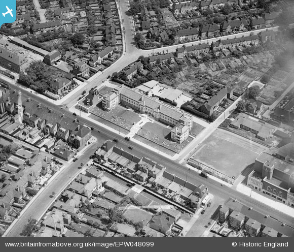
EPW048099 ENGLAND (1935). The Pantiles on Finchley Road, Hampstead Garden Suburb, 1935
© Copyright OpenStreetMap contributors and licensed by the OpenStreetMap Foundation. 2026. Cartography is licensed as CC BY-SA.
Nearby Images (10)
EPW048099

EPW048250

EPW048100

EPW048096

EPW048103

EPW048098

EPW048101

EPW048102

EPW048097

EPW047869

Details
| Title | [EPW048099] The Pantiles on Finchley Road, Hampstead Garden Suburb, 1935 |
| Reference | EPW048099 |
| Date | July-1935 |
| Link | |
| Place name | HAMPSTEAD GARDEN SUBURB |
| Parish | |
| District | |
| Country | ENGLAND |
| Easting / Northing | 524840, 188968 |
| Longitude / Latitude | -0.19787880728271, 51.58524794857 |
| National Grid Reference | TQ248890 |
Pins
Be the first to add a comment to this image!