
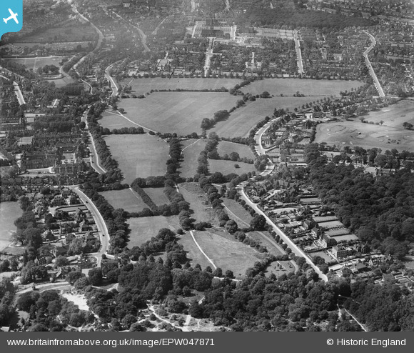
EPW047871 ENGLAND (1935). The Hampstead Heath Extension, Hampstead Garden Suburb, from the south-east, 1935
© Copyright OpenStreetMap contributors and licensed by the OpenStreetMap Foundation. 2026. Cartography is licensed as CC BY-SA.
Nearby Images (3)
EPW047871

EPW047870

EPW047883

Details
| Title | [EPW047871] The Hampstead Heath Extension, Hampstead Garden Suburb, from the south-east, 1935 |
| Reference | EPW047871 |
| Date | June-1935 |
| Link | |
| Place name | HAMPSTEAD GARDEN SUBURB |
| Parish | |
| District | |
| Country | ENGLAND |
| Easting / Northing | 526162, 187375 |
| Longitude / Latitude | -0.17937782365872, 51.570635844005 |
| National Grid Reference | TQ262874 |
Pins
Be the first to add a comment to this image!