
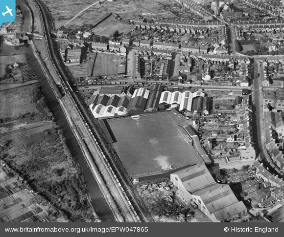
EPW047865 ENGLAND (1935). The Cyclops Engineering Works, Horninglow, 1935
© Copyright OpenStreetMap contributors and licensed by the OpenStreetMap Foundation. 2025. Cartography is licensed as CC BY-SA.
Nearby Images (9)
EPW047865

EPW047861

EPW047867

EPW047859

EPW047863

EPW047860

EPW047862

EPW047866

EPW047864

Details
| Title | [EPW047865] The Cyclops Engineering Works, Horninglow, 1935 |
| Reference | EPW047865 |
| Date | June-1935 |
| Link | |
| Place name | HORNINGLOW |
| Parish | HORNINGLOW AND ETON |
| District | |
| Country | ENGLAND |
| Easting / Northing | 424259, 324389 |
| Longitude / Latitude | -1.6400125848077, 52.816164676822 |
| National Grid Reference | SK243244 |
Pins
 BGP |
Wednesday 12th of November 2014 01:50:09 PM | |
BGP |
Wednesday 12th of November 2014 01:49:28 PM | |
BGP |
Wednesday 12th of November 2014 01:48:54 PM | |
BGP |
Wednesday 12th of November 2014 01:48:14 PM | |
BGP |
Wednesday 12th of November 2014 01:42:42 PM |