
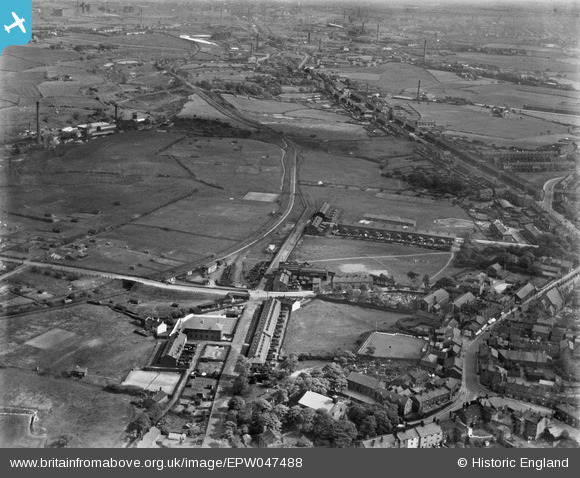
EPW047488 ENGLAND (1935). Royds Street, Kirklees Street, the Tottington Branch Railway Line and environs, Tottington, from the north-west, 1935
© Copyright OpenStreetMap contributors and licensed by the OpenStreetMap Foundation. 2026. Cartography is licensed as CC BY-SA.
Nearby Images (5)
EPW047488

EPW047486

EPW047482

EPW047483

EPW047487

Details
| Title | [EPW047488] Royds Street, Kirklees Street, the Tottington Branch Railway Line and environs, Tottington, from the north-west, 1935 |
| Reference | EPW047488 |
| Date | May-1935 |
| Link | |
| Place name | TOTTINGTON |
| Parish | |
| District | |
| Country | ENGLAND |
| Easting / Northing | 377696, 413176 |
| Longitude / Latitude | -2.3371868978361, 53.614421064941 |
| National Grid Reference | SD777132 |
Pins

EdCC |
Monday 30th of October 2017 01:31:44 PM | |
|
ValuerJim |
Wednesday 3rd of February 2016 10:04:35 PM | |
|
MB |
Wednesday 11th of December 2013 05:44:56 PM | |
Kirklees Rayon Company. |
Triggy |
Wednesday 5th of March 2014 10:38:49 PM |
|
mrlawrence |
Friday 22nd of November 2013 10:03:32 PM | |
|
mrlawrence |
Friday 22nd of November 2013 09:57:07 PM | |
|
mrlawrence |
Friday 22nd of November 2013 09:53:10 PM | |
|
mrlawrence |
Thursday 21st of November 2013 09:36:51 PM |