
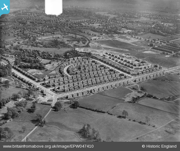
EPW047410 ENGLAND (1935). Lancaster Road and environs, Salford, from the west, 1935. This image was marked by Aerofilms Ltd for photo editing.
© Copyright OpenStreetMap contributors and licensed by the OpenStreetMap Foundation. 2026. Cartography is licensed as CC BY-SA.
Nearby Images (4)
EPW047410

EPW047473

EPW047472

EPW047405

Details
| Title | [EPW047410] Lancaster Road and environs, Salford, from the west, 1935. This image was marked by Aerofilms Ltd for photo editing. |
| Reference | EPW047410 |
| Date | May-1935 |
| Link | |
| Place name | SALFORD |
| Parish | |
| District | |
| Country | ENGLAND |
| Easting / Northing | 378684, 400365 |
| Longitude / Latitude | -2.3213769078805, 53.499301133675 |
| National Grid Reference | SD787004 |
Pins

Lizzie |
Sunday 24th of September 2023 09:27:12 PM | |
|
Lizzie |
Sunday 24th of September 2023 09:26:39 PM | |

RenfrewSue |
Monday 25th of May 2020 06:23:10 PM |
