
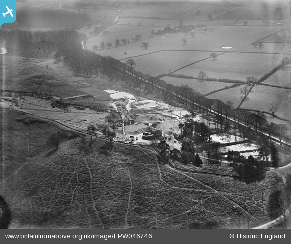
EPW046746 ENGLAND (1935). Trentham Gravel Pit, Hanchurch, 1935
© Copyright OpenStreetMap contributors and licensed by the OpenStreetMap Foundation. 2025. Cartography is licensed as CC BY-SA.
Nearby Images (6)
EPW046746

EPW045284

EPW046749

EPW045286

EPW045283

EPW046751

Details
| Title | [EPW046746] Trentham Gravel Pit, Hanchurch, 1935 |
| Reference | EPW046746 |
| Date | March-1935 |
| Link | |
| Place name | HANCHURCH |
| Parish | SWYNNERTON |
| District | |
| Country | ENGLAND |
| Easting / Northing | 385408, 340358 |
| Longitude / Latitude | -2.2172536072754, 52.960079501119 |
| National Grid Reference | SJ854404 |
Pins
 Brittany |
Wednesday 24th of February 2021 07:08:22 PM |