
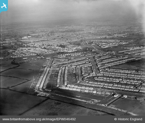
EPW046492 ENGLAND (1935). Residential development around Torbay Road and Newquay Crescent, Rayners Lane, from the south-west, 1935
© Copyright OpenStreetMap contributors and licensed by the OpenStreetMap Foundation. 2025. Cartography is licensed as CC BY-SA.
Nearby Images (4)
EPW046492

EPW040809

EPR000201

EPW040810

Details
| Title | [EPW046492] Residential development around Torbay Road and Newquay Crescent, Rayners Lane, from the south-west, 1935 |
| Reference | EPW046492 |
| Date | January-1935 |
| Link | |
| Place name | RAYNERS LANE |
| Parish | |
| District | |
| Country | ENGLAND |
| Easting / Northing | 512409, 186878 |
| Longitude / Latitude | -0.37791318909328, 51.569078827105 |
| National Grid Reference | TQ124869 |
Pins

Keith |
Wednesday 24th of July 2013 03:17:10 PM |