
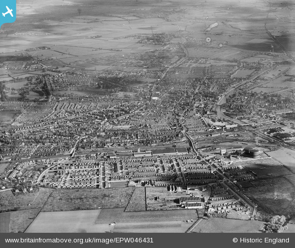
EPW046431 ENGLAND (1934). Queen's Park and the town, Bedford, from the west, 1934
© Copyright OpenStreetMap contributors and licensed by the OpenStreetMap Foundation. 2026. Cartography is licensed as CC BY-SA.
Nearby Images (10)
EPW046431

EPW035882

EPW035881

EPW035884

EPW035787

EPW035880

EAW035343

EAW035344

EAW035342

EPW037464

Details
| Title | [EPW046431] Queen's Park and the town, Bedford, from the west, 1934 |
| Reference | EPW046431 |
| Date | October-1934 |
| Link | |
| Place name | BEDFORD |
| Parish | |
| District | |
| Country | ENGLAND |
| Easting / Northing | 503777, 249605 |
| Longitude / Latitude | -0.4835893987437, 52.134577834448 |
| National Grid Reference | TL038496 |
Pins

melgibbs |
Wednesday 15th of January 2014 06:45:48 PM | |
|
melgibbs |
Wednesday 15th of January 2014 06:45:09 PM | |
|
melgibbs |
Wednesday 15th of January 2014 06:44:39 PM | |
|
melgibbs |
Wednesday 15th of January 2014 06:37:25 PM |