
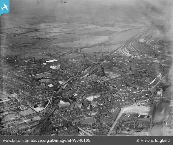
EPW046165 ENGLAND (1934). The Clifton Accrington and Colne Railway, St Thomas's Church and the town, Radcliffe, from the south, 1934
© Copyright OpenStreetMap contributors and licensed by the OpenStreetMap Foundation. 2026. Cartography is licensed as CC BY-SA.
Nearby Images (3)
EPW046165

EPW046168

EPW048852

Details
| Title | [EPW046165] The Clifton Accrington and Colne Railway, St Thomas's Church and the town, Radcliffe, from the south, 1934 |
| Reference | EPW046165 |
| Date | September-1934 |
| Link | |
| Place name | RADCLIFFE |
| Parish | |
| District | |
| Country | ENGLAND |
| Easting / Northing | 378378, 407025 |
| Longitude / Latitude | -2.3264503877693, 53.559157191694 |
| National Grid Reference | SD784070 |
Pins

K |
Wednesday 15th of January 2020 10:44:26 PM | |
|
Paul Williams |
Tuesday 30th of July 2019 08:57:18 PM | |
|
parrot |
Wednesday 6th of March 2019 06:48:24 PM | |
|
parrot |
Wednesday 6th of March 2019 06:47:08 PM | |
|
parrot |
Thursday 23rd of May 2013 05:44:55 PM | |
Hi there The above information is incorrect. Radcliffe Central was on what is now the Metrolink line between Bury & Manchester (now simply known as Radcliffe). |
Scouseinmanc |
Friday 17th of November 2017 11:49:51 AM |
The information is correct, Radcliffe Central was where Pilkington Way is now, the Metrolink Station was called Radcliffe New http://www.disused-stations.org.uk/r/radcliffe/index.shtml |
philh99 |
Wednesday 3rd of January 2018 09:11:50 AM |
|
parrot |
Thursday 23rd of May 2013 05:43:17 PM | |
|
parrot |
Thursday 23rd of May 2013 05:42:46 PM |