
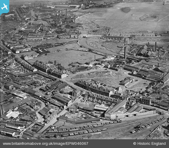
EPW046067 ENGLAND (1934). Union Road, Goldbury Road and environs, West Bromwich, 1934
© Copyright OpenStreetMap contributors and licensed by the OpenStreetMap Foundation. 2026. Cartography is licensed as CC BY-SA.
Nearby Images (20)
EPW046067

EPW046066

EPW046424

EPW046427

EPW046428

EPW046426

EPW046062

EPW046429

EPW046065

EPW046425

EPW046064

EPW046063

EAW037533

EAW037538

EAW037542

EAW037539

EAW037534

EAW037537

EAW037535

EAW037536

Details
| Title | [EPW046067] Union Road, Goldbury Road and environs, West Bromwich, 1934 |
| Reference | EPW046067 |
| Date | September-1934 |
| Link | |
| Place name | WEST BROMWICH |
| Parish | |
| District | |
| Country | ENGLAND |
| Easting / Northing | 398613, 291162 |
| Longitude / Latitude | -2.0204424969175, 52.517974042155 |
| National Grid Reference | SO986912 |
Pins
Be the first to add a comment to this image!