
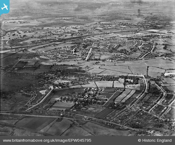
EPW045795 ENGLAND (1934). New housing development at Low Hill, New Cross Workhouse and Infirmary and environs, Heath Town, from the south-east, 1934
© Copyright OpenStreetMap contributors and licensed by the OpenStreetMap Foundation. 2026. Cartography is licensed as CC BY-SA.
Nearby Images (4)
EPW045795

EPW011776
, Wolverhampton, 1924. This image has been produced from a print.")
EPW045522

EPW045793

Details
| Title | [EPW045795] New housing development at Low Hill, New Cross Workhouse and Infirmary and environs, Heath Town, from the south-east, 1934 |
| Reference | EPW045795 |
| Date | August-1934 |
| Link | |
| Place name | HEATH TOWN |
| Parish | |
| District | |
| Country | ENGLAND |
| Easting / Northing | 393711, 300107 |
| Longitude / Latitude | -2.0928609082177, 52.598362906099 |
| National Grid Reference | SJ937001 |
