
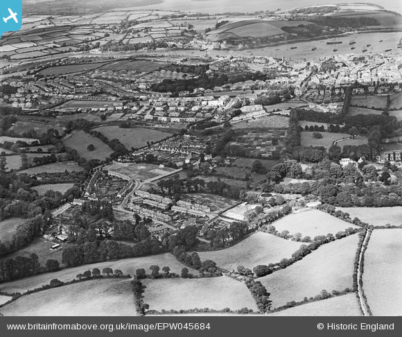
EPW045684 ENGLAND (1934). Residential area at Swanvale, Falmouth, 1934
© Copyright OpenStreetMap contributors and licensed by the OpenStreetMap Foundation. 2026. Cartography is licensed as CC BY-SA.
Nearby Images (4)
EPW045684

 0°
0m
0°
0m
EPW045683
 63°
44m
63°
44m
EPW045682
 244°
85m
244°
85m
EPW045685
 220°
222m
220°
222m
Details
| Title | [EPW045684] Residential area at Swanvale, Falmouth, 1934 |
| Reference | EPW045684 |
| Date | July-1934 |
| Link | |
| Place name | FALMOUTH |
| Parish | FALMOUTH |
| District | |
| Country | ENGLAND |
| Easting / Northing | 179821, 32171 |
| Longitude / Latitude | -5.0822797444748, 50.148025505512 |
| National Grid Reference | SW798322 |
Pins
 Falmouth Methodist church Falmouth Methodist church |

freya2871 |
Tuesday 16th of September 2014 05:33:01 PM |
| St marys church |
freya2871 |
Tuesday 16th of September 2014 05:31:31 PM |
| Falmouth rugby club |
freya2871 |
Tuesday 16th of September 2014 05:30:35 PM |
| Tregenver school |
freya2871 |
Tuesday 16th of September 2014 05:25:06 PM |
| cutty sark as training ship, purchased by retired sea captain Wilfred Dowman in 1922 until his death in 1938 when the ship was transferred to Thames Nautical Training College,Greenhithe |
freya2871 |
Tuesday 16th of September 2014 05:22:30 PM |
| Penmere Platform Station which opened on 1 July 1925. |

Class31 |
Thursday 15th of May 2014 11:16:11 AM |