
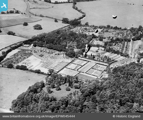
EPW045444 ENGLAND (1934). The Royal Horticultural Society Gardens, Wisley, 1934. This image has been produced from a damaged negative.
© Copyright OpenStreetMap contributors and licensed by the OpenStreetMap Foundation. 2026. Cartography is licensed as CC BY-SA.
Nearby Images (3)
EPW045444

EPW045445

EPW045443

Details
| Title | [EPW045444] The Royal Horticultural Society Gardens, Wisley, 1934. This image has been produced from a damaged negative. |
| Reference | EPW045444 |
| Date | July-1934 |
| Link | |
| Place name | WISLEY |
| Parish | WISLEY |
| District | |
| Country | ENGLAND |
| Easting / Northing | 506413, 158209 |
| Longitude / Latitude | -0.47302290675056, 51.312525976652 |
| National Grid Reference | TQ064582 |
Pins
Be the first to add a comment to this image!