
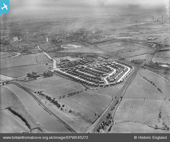
EPW045272 ENGLAND (1934). Housing estate at Whitwood Mere and Lumley Hill, Castleford, from the west, 1934
© Copyright OpenStreetMap contributors and licensed by the OpenStreetMap Foundation. 2026. Cartography is licensed as CC BY-SA.
Nearby Images (2)
EPW045272

EPW045274

Details
| Title | [EPW045272] Housing estate at Whitwood Mere and Lumley Hill, Castleford, from the west, 1934 |
| Reference | EPW045272 |
| Date | July-1934 |
| Link | |
| Place name | CASTLEFORD |
| Parish | |
| District | |
| Country | ENGLAND |
| Easting / Northing | 440693, 425490 |
| Longitude / Latitude | -1.3832115702148, 53.724001791693 |
| National Grid Reference | SE407255 |
Pins

dyey |
Wednesday 28th of January 2015 06:38:22 PM | |
|
stephenfromnormanton |
Sunday 23rd of November 2014 06:03:07 PM | |

Derekdye |
Friday 15th of November 2013 07:42:14 PM | |
|
Derekdye |
Friday 15th of November 2013 07:41:23 PM | |
|
Derekdye |
Friday 15th of November 2013 07:37:14 PM | |
|
Derekdye |
Friday 15th of November 2013 07:35:04 PM | |
|
Derekdye |
Friday 15th of November 2013 07:33:58 PM | |
|
Derekdye |
Friday 15th of November 2013 07:32:33 PM | |
|
Derekdye |
Friday 15th of November 2013 07:31:43 PM | |
|
Derekdye |
Friday 15th of November 2013 07:31:04 PM |