
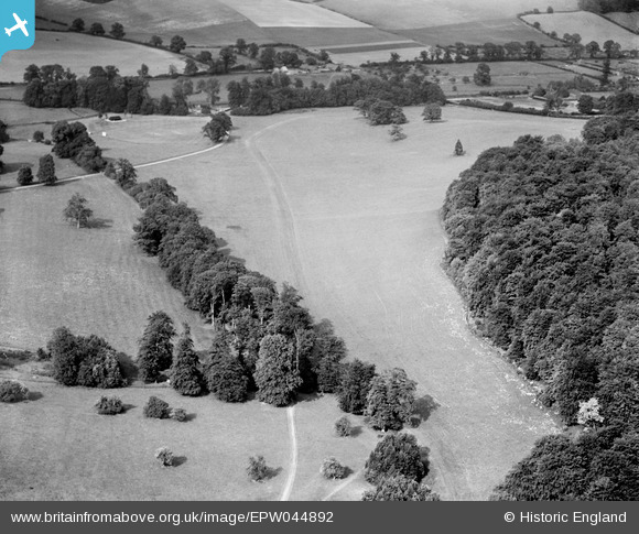
EPW044892 ENGLAND (1934). Wheatley Wood and environs, Amersham, 1934
© Copyright OpenStreetMap contributors and licensed by the OpenStreetMap Foundation. 2026. Cartography is licensed as CC BY-SA.
Nearby Images (4)
EPW044892

EPW044887

EPW044885

EPW044889

Details
| Title | [EPW044892] Wheatley Wood and environs, Amersham, 1934 |
| Reference | EPW044892 |
| Date | June-1934 |
| Link | |
| Place name | AMERSHAM |
| Parish | AMERSHAM |
| District | |
| Country | ENGLAND |
| Easting / Northing | 494226, 197445 |
| Longitude / Latitude | -0.63736804701251, 51.667406593779 |
| National Grid Reference | SU942974 |
Pins
Be the first to add a comment to this image!