
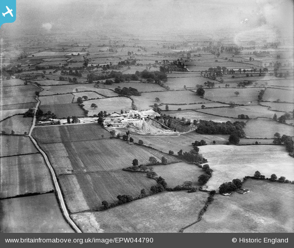
EPW044790 ENGLAND (1934). Wickwar Quarry and surrounding countryside, Charfield, from the north, 1934
© Copyright OpenStreetMap contributors and licensed by the OpenStreetMap Foundation. 2026. Cartography is licensed as CC BY-SA.
Nearby Images (2)
EPW044790

EPW044791

Details
| Title | [EPW044790] Wickwar Quarry and surrounding countryside, Charfield, from the north, 1934 |
| Reference | EPW044790 |
| Date | June-1934 |
| Link | |
| Place name | CHARFIELD |
| Parish | CHARFIELD |
| District | |
| Country | ENGLAND |
| Easting / Northing | 371476, 190204 |
| Longitude / Latitude | -2.4119612134112, 51.609474768016 |
| National Grid Reference | ST715902 |
Pins
Be the first to add a comment to this image!