
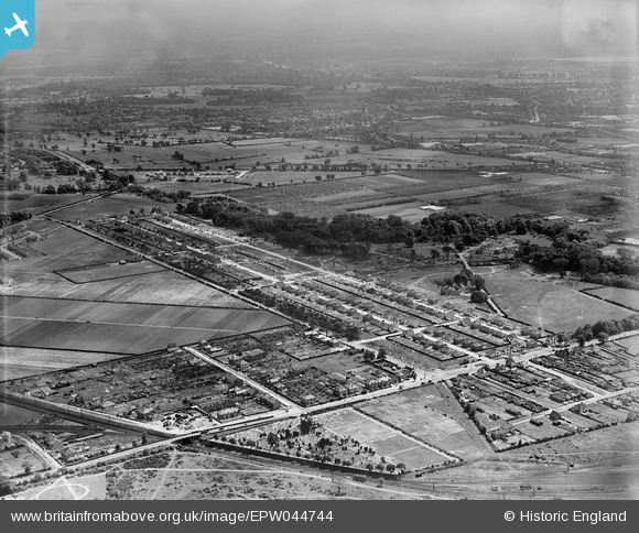
EPW044744 ENGLAND (1934). Hanworth Road, Powder Mill Lane and environs, Twickenham, from the north, 1934
© Copyright OpenStreetMap contributors and licensed by the OpenStreetMap Foundation. 2026. Cartography is licensed as CC BY-SA.
Nearby Images (7)
EPW044744

EPW044335

EPW044332

EPW044746

EPW044334

EPW044337

EPW044336

Details
| Title | [EPW044744] Hanworth Road, Powder Mill Lane and environs, Twickenham, from the north, 1934 |
| Reference | EPW044744 |
| Date | June-1934 |
| Link | |
| Place name | TWICKENHAM |
| Parish | |
| District | |
| Country | ENGLAND |
| Easting / Northing | 512886, 173462 |
| Longitude / Latitude | -0.37532895321539, 51.448388890739 |
| National Grid Reference | TQ129735 |
Pins

Brian |
Monday 9th of February 2015 05:56:26 PM | |
|
Brian |
Monday 9th of February 2015 05:54:09 PM | |
|
Stuart |
Monday 22nd of September 2014 05:03:01 PM | |
|
Stuart |
Monday 22nd of September 2014 04:57:16 PM | |
|
MB |
Friday 6th of December 2013 12:13:19 AM | |
|
MB |
Friday 6th of December 2013 12:07:58 AM | |
|
Andrew |
Thursday 5th of December 2013 11:21:46 PM |