
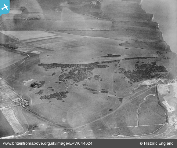
EPW044624 ENGLAND (1934). Haven Brow and Limekiln Bottom, Cliff End, 1934
© Copyright OpenStreetMap contributors and licensed by the OpenStreetMap Foundation. 2025. Cartography is licensed as CC BY-SA.
Nearby Images (8)
EPW044624

EPW044630

EPW044625

EPW044638

EPW044629

EPW044623

EPW044631

EPW044627

Details
| Title | [EPW044624] Haven Brow and Limekiln Bottom, Cliff End, 1934 |
| Reference | EPW044624 |
| Date | May-1934 |
| Link | |
| Place name | CLIFF END |
| Parish | CUCKMERE VALLEY |
| District | |
| Country | ENGLAND |
| Easting / Northing | 552307, 98004 |
| Longitude / Latitude | 0.15979092173916, 50.761044872733 |
| National Grid Reference | TV523980 |
Pins
Be the first to add a comment to this image!