
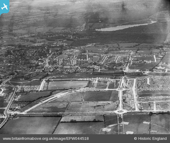
EPW044518 ENGLAND (1934). Construction of the Ruislip Manor Estate at Victoria Road and environs, Ruislip, 1934
© Copyright OpenStreetMap contributors and licensed by the OpenStreetMap Foundation. 2026. Cartography is licensed as CC BY-SA.
Nearby Images (2)
EPW044518

EPW044193

Details
| Title | [EPW044518] Construction of the Ruislip Manor Estate at Victoria Road and environs, Ruislip, 1934 |
| Reference | EPW044518 |
| Date | May-1934 |
| Link | |
| Place name | RUISLIP |
| Parish | |
| District | |
| Country | ENGLAND |
| Easting / Northing | 509719, 187266 |
| Longitude / Latitude | -0.41659314248911, 51.573096523604 |
| National Grid Reference | TQ097873 |
Pins

Dave |
Saturday 6th of February 2021 09:55:12 PM | |
|
Nick |
Saturday 15th of March 2014 08:44:55 PM | |
|
Nick |
Saturday 15th of March 2014 08:44:18 PM | |
|
Nick |
Saturday 15th of March 2014 08:43:37 PM | |
|
Jessicasrider |
Saturday 24th of August 2013 11:03:58 PM |
User Comment Contributions
This storage site was used up until about 1920. |
Nick |
Saturday 15th of March 2014 08:47:14 PM |