
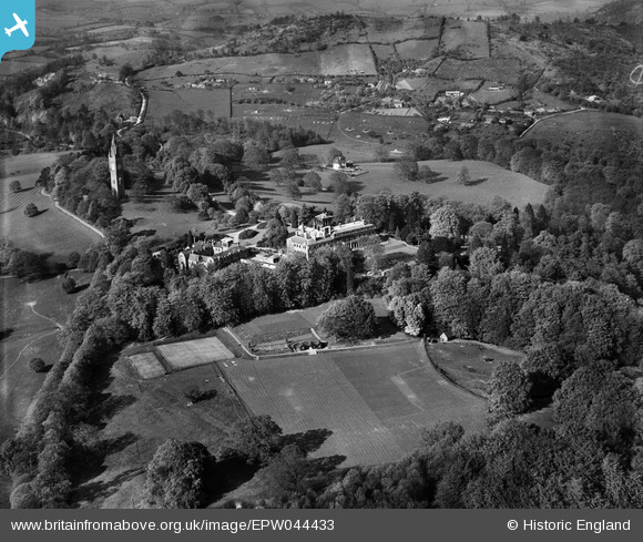
EPW044433 ENGLAND (1934). Abberley Hall School the Clock Tower and environs, Abberley, 1934
© Copyright OpenStreetMap contributors and licensed by the OpenStreetMap Foundation. 2026. Cartography is licensed as CC BY-SA.
Nearby Images (9)
EPW044433

EPW044431

EPW044430

EPW044436

EPW044438

EPW044434

EPW044429

EPW044427

EPW044428

Details
| Title | [EPW044433] Abberley Hall School the Clock Tower and environs, Abberley, 1934 |
| Reference | EPW044433 |
| Date | May-1934 |
| Link | |
| Place name | ABBERLEY |
| Parish | ABBERLEY |
| District | |
| Country | ENGLAND |
| Easting / Northing | 374481, 266423 |
| Longitude / Latitude | -2.3742240761629, 52.294951668321 |
| National Grid Reference | SO745664 |
Pins
Be the first to add a comment to this image!