
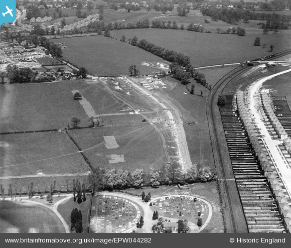
EPW044282 ENGLAND (1934). Construction site for housing at Grasmere Gardens and the Wealdstone Cemetery, Harrow, 1934
© Copyright OpenStreetMap contributors and licensed by the OpenStreetMap Foundation. 2026. Cartography is licensed as CC BY-SA.
Nearby Images (10)
EPW044282

EPW044281

EPW044715

EPW044285

EPW044284

EPW044726

EPW044283

EPW044716

EPW044712

EPW044713

Details
| Title | [EPW044282] Construction site for housing at Grasmere Gardens and the Wealdstone Cemetery, Harrow, 1934 |
| Reference | EPW044282 |
| Date | May-1934 |
| Link | |
| Place name | HARROW |
| Parish | |
| District | |
| Country | ENGLAND |
| Easting / Northing | 516258, 190073 |
| Longitude / Latitude | -0.32133832562119, 51.597016522086 |
| National Grid Reference | TQ163901 |
Pins

Mike |
Sunday 30th of July 2017 11:54:51 AM | |
|
simes188 |
Sunday 16th of April 2017 06:31:55 PM | |
|
simes188 |
Friday 29th of November 2013 07:52:06 PM | |
|
simes188 |
Friday 29th of November 2013 07:50:21 PM | |
|
simes188 |
Friday 29th of November 2013 07:46:05 PM | |
Judging by its length and orientation, I think this more likely to be Vernon Drive |
czyrko |
Saturday 26th of April 2014 04:52:16 PM |
|
simes188 |
Sunday 24th of November 2013 09:59:26 PM |