
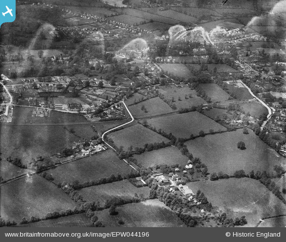
EPW044196 ENGLAND (1934). Ickenham Manor, the LPTB Metropolitan Line and environs, Ickenham, 1934
© Copyright OpenStreetMap contributors and licensed by the OpenStreetMap Foundation. 2026. Cartography is licensed as CC BY-SA.
Nearby Images (2)
EPW044196

EPW044500

Details
| Title | [EPW044196] Ickenham Manor, the LPTB Metropolitan Line and environs, Ickenham, 1934 |
| Reference | EPW044196 |
| Date | May-1934 |
| Link | |
| Place name | ICKENHAM |
| Parish | |
| District | |
| Country | ENGLAND |
| Easting / Northing | 507962, 185566 |
| Longitude / Latitude | -0.44246140853834, 51.558154369147 |
| National Grid Reference | TQ080856 |
Pins

Chris |
Tuesday 28th of April 2020 09:48:25 AM | |
|
Chris |
Tuesday 28th of April 2020 09:47:52 AM | |
|
Peter Turvey |
Monday 24th of November 2014 06:16:04 PM | |
|
Peter Turvey |
Monday 24th of November 2014 06:15:07 PM |