
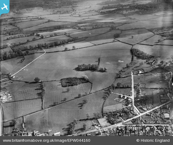
EPW044160 ENGLAND (1934). Housing along Hurst Rise Road and countryside to the south and east, Botley, from the north-west, 1934
© Copyright OpenStreetMap contributors and licensed by the OpenStreetMap Foundation. 2025. Cartography is licensed as CC BY-SA.
Nearby Images (2)
EPW044160

EPW044161

Details
| Title | [EPW044160] Housing along Hurst Rise Road and countryside to the south and east, Botley, from the north-west, 1934 |
| Reference | EPW044160 |
| Date | May-1934 |
| Link | |
| Place name | BOTLEY |
| Parish | NORTH HINKSEY |
| District | |
| Country | ENGLAND |
| Easting / Northing | 448497, 205760 |
| Longitude / Latitude | -1.2974336079987, 51.747980977648 |
| National Grid Reference | SP485058 |
Pins
Be the first to add a comment to this image!