
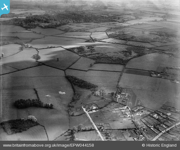
EPW044158 ENGLAND (1934). Housing along Hurst Rise Road and countryside to the south, Harcourt Hill, from the north, 1934
© Copyright OpenStreetMap contributors and licensed by the OpenStreetMap Foundation. 2025. Cartography is licensed as CC BY-SA.
Nearby Images (2)
EPW044158

EPW044161

Details
| Title | [EPW044158] Housing along Hurst Rise Road and countryside to the south, Harcourt Hill, from the north, 1934 |
| Reference | EPW044158 |
| Date | May-1934 |
| Link | |
| Place name | HARCOURT HILL |
| Parish | NORTH HINKSEY |
| District | |
| Country | ENGLAND |
| Easting / Northing | 448309, 205466 |
| Longitude / Latitude | -1.3001977563574, 51.745353735957 |
| National Grid Reference | SP483055 |
Pins
Be the first to add a comment to this image!