
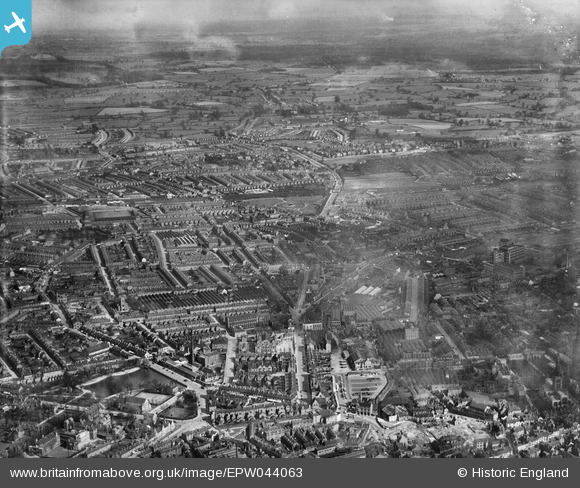
EPW044063 ENGLAND (1934). The city including several of the Singer Motor Car Works, Coventry, from the north-west, 1934
© Copyright OpenStreetMap contributors and licensed by the OpenStreetMap Foundation. 2026. Cartography is licensed as CC BY-SA.
Nearby Images (26)
EPW044063

EPW044061

EAW041355

EAW051847

EAW041363

EAW041361

EAW041358

EAW041356

EPW044034

EAW041349

EAW041360

EAW041369

EAW041353

EPW044035

EPW044037

EAW041371

EPW044036

EPW044038

EAW041366

EAW041354

EAW041362

EPW044040

EPW044039

EPW061106

EAW051851

EPW053108

Details
| Title | [EPW044063] The city including several of the Singer Motor Car Works, Coventry, from the north-west, 1934 |
| Reference | EPW044063 |
| Date | April-1934 |
| Link | |
| Place name | COVENTRY |
| Parish | |
| District | |
| Country | ENGLAND |
| Easting / Northing | 433937, 279258 |
| Longitude / Latitude | -1.501036567354, 52.409893761735 |
| National Grid Reference | SP339793 |
Pins
Be the first to add a comment to this image!