
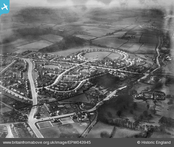
EPW043945 ENGLAND (1934). Housing at Amesbury Circus, Dulverton Vale and Broxtowe Lane, Cinderhill, from the east, 1934
© Copyright OpenStreetMap contributors and licensed by the OpenStreetMap Foundation. 2026. Cartography is licensed as CC BY-SA.
Nearby Images (3)
EPW043945

EPW043943

EPW043942

Details
| Title | [EPW043945] Housing at Amesbury Circus, Dulverton Vale and Broxtowe Lane, Cinderhill, from the east, 1934 |
| Reference | EPW043945 |
| Date | April-1934 |
| Link | |
| Place name | CINDERHILL |
| Parish | |
| District | |
| Country | ENGLAND |
| Easting / Northing | 453904, 343224 |
| Longitude / Latitude | -1.1970104863635, 52.983332574695 |
| National Grid Reference | SK539432 |
Pins
Be the first to add a comment to this image!