
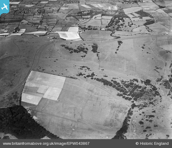
EPW043867 ENGLAND (1934). Countryside around Big Bottom and Ditchling Beacon, Westmeston, 1934
© Copyright OpenStreetMap contributors and licensed by the OpenStreetMap Foundation. 2026. Cartography is licensed as CC BY-SA.
Nearby Images (3)
EPW043867

EPW043869

EPW043866

Details
| Title | [EPW043867] Countryside around Big Bottom and Ditchling Beacon, Westmeston, 1934 |
| Reference | EPW043867 |
| Date | March-1934 |
| Link | |
| Place name | WESTMESTON |
| Parish | WESTMESTON |
| District | |
| Country | ENGLAND |
| Easting / Northing | 533655, 112202 |
| Longitude / Latitude | -0.099361556927653, 50.893262085624 |
| National Grid Reference | TQ337122 |
Pins
Be the first to add a comment to this image!
User Comment Contributions
Ditchling Beacon South Downs Way |

Alan McFaden |
Saturday 15th of November 2014 10:55:17 AM |