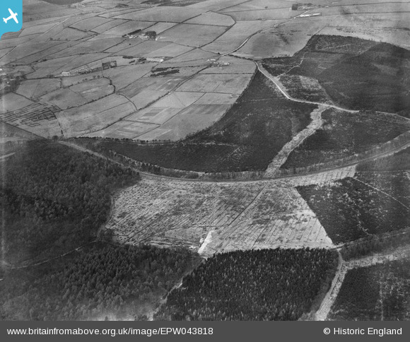
EPW043818 ENGLAND (1934). Chopwell Wood and the Garesfield and Chopwell Railway, Chopwell, 1934
© Copyright OpenStreetMap contributors and licensed by the OpenStreetMap Foundation. 2024. Cartography is licensed as CC BY-SA.
Details
| Title | [EPW043818] Chopwell Wood and the Garesfield and Chopwell Railway, Chopwell, 1934 |
| Reference | EPW043818 |
| Date | March-1934 |
| Link | |
| Place name | CHOPWELL |
| Parish | |
| District | |
| Country | ENGLAND |
| Easting / Northing | 413230, 558471 |
| Longitude / Latitude | -1.7935664644325, 54.920677219399 |
| National Grid Reference | NZ132585 |


![[EPW043818] Chopwell Wood and the Garesfield and Chopwell Railway, Chopwell, 1934](http://britainfromabove.org.uk/sites/all/libraries/aerofilms-images/public/100x100/EPW/043/EPW043818.jpg)
![[EPW043819] Chopwell Wood and the Garesfield and Chopwell Railway, Chopwell, from the south-east, 1934](http://britainfromabove.org.uk/sites/all/libraries/aerofilms-images/public/100x100/EPW/043/EPW043819.jpg)
