
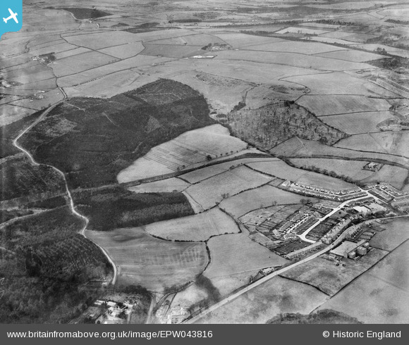
EPW043816 ENGLAND (1934). High Spen village, Chopwell Wood and the Garesfield and Chopwell Railway, High Spen, from the south-east, 1934
© Copyright OpenStreetMap contributors and licensed by the OpenStreetMap Foundation. 2026. Cartography is licensed as CC BY-SA.
Nearby Images (2)
EPW043816

EPW043835

Details
| Title | [EPW043816] High Spen village, Chopwell Wood and the Garesfield and Chopwell Railway, High Spen, from the south-east, 1934 |
| Reference | EPW043816 |
| Date | February-1934 |
| Link | |
| Place name | HIGH SPEN |
| Parish | |
| District | |
| Country | ENGLAND |
| Easting / Northing | 413835, 559175 |
| Longitude / Latitude | -1.7840925787915, 54.926987857754 |
| National Grid Reference | NZ138592 |
