
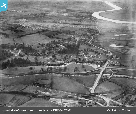
EPW043797 ENGLAND (1934). Shibdon Road, the River Derwent and environs, Blaydon, from the south-east, 1934
© Copyright OpenStreetMap contributors and licensed by the OpenStreetMap Foundation. 2025. Cartography is licensed as CC BY-SA.
Nearby Images (2)
EPW043797

EPW043834

Details
| Title | [EPW043797] Shibdon Road, the River Derwent and environs, Blaydon, from the south-east, 1934 |
| Reference | EPW043797 |
| Date | February-1934 |
| Link | |
| Place name | BLAYDON |
| Parish | |
| District | |
| Country | ENGLAND |
| Easting / Northing | 419687, 562133 |
| Longitude / Latitude | -1.6925654349535, 54.953375426838 |
| National Grid Reference | NZ197621 |
Pins
 Tired Hiker |
Saturday 11th of November 2023 01:36:18 PM |