
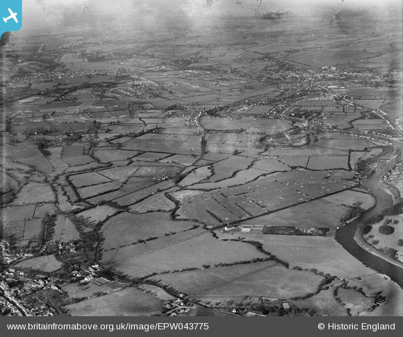
EPW043775 ENGLAND (1934). Chertsey (Laleham) Golf Course and environs, Laleham Burway, from the south-east, 1934
© Copyright OpenStreetMap contributors and licensed by the OpenStreetMap Foundation. 2026. Cartography is licensed as CC BY-SA.
Nearby Images (3)
EPW043775
 Golf Course and environs, Laleham Burway, from the south-east, 1934")
EPW043774
 Golf Course and environs, Laleham Burway, from the south-east, 1934")
EPW043776
 Golf Course and environs, Laleham Burway, from the south-east, 1934")
Details
| Title | [EPW043775] Chertsey (Laleham) Golf Course and environs, Laleham Burway, from the south-east, 1934 |
| Reference | EPW043775 |
| Date | February-1934 |
| Link | |
| Place name | LALEHAM BURWAY |
| Parish | |
| District | |
| Country | ENGLAND |
| Easting / Northing | 504504, 167700 |
| Longitude / Latitude | -0.49761717965806, 51.398200536391 |
| National Grid Reference | TQ045677 |
Pins
Be the first to add a comment to this image!