
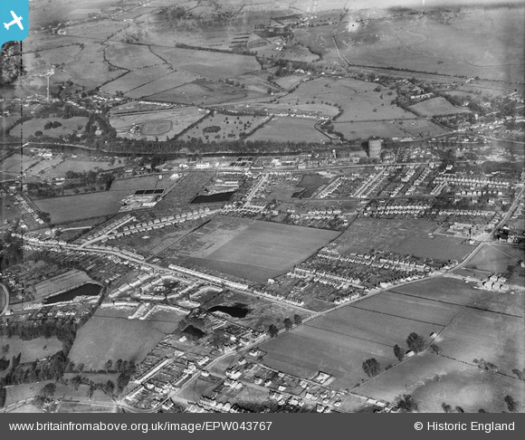
EPW043767 ENGLAND (1934). Egham Hythe and environs, Egham, 1934
© Copyright OpenStreetMap contributors and licensed by the OpenStreetMap Foundation. 2025. Cartography is licensed as CC BY-SA.
Nearby Images (4)
EPW043767

EPW043768

EPW043765

EPW043766

Details
| Title | [EPW043767] Egham Hythe and environs, Egham, 1934 |
| Reference | EPW043767 |
| Date | February-1934 |
| Link | |
| Place name | EGHAM |
| Parish | |
| District | |
| Country | ENGLAND |
| Easting / Northing | 502367, 171359 |
| Longitude / Latitude | -0.52727158562152, 51.431483461763 |
| National Grid Reference | TQ024714 |
Pins
Be the first to add a comment to this image!