
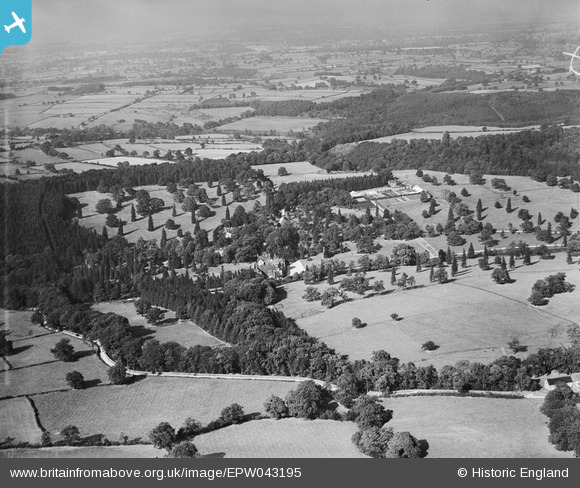
EPW043195 ENGLAND (1933). Grantley Hall, Grantley, from the south, 1933
© Copyright OpenStreetMap contributors and licensed by the OpenStreetMap Foundation. 2025. Cartography is licensed as CC BY-SA.
Nearby Images (5)
EPW043195

EPW043200

EPW043198

EPW043199

EPW043201

Details
| Title | [EPW043195] Grantley Hall, Grantley, from the south, 1933 |
| Reference | EPW043195 |
| Date | September-1933 |
| Link | |
| Place name | GRANTLEY HALL |
| Parish | SAWLEY |
| District | |
| Country | ENGLAND |
| Easting / Northing | 424200, 469000 |
| Longitude / Latitude | -1.6297459436544, 54.11612355986 |
| National Grid Reference | SE242690 |
Pins
 John W |
Thursday 28th of November 2019 10:26:51 PM |