
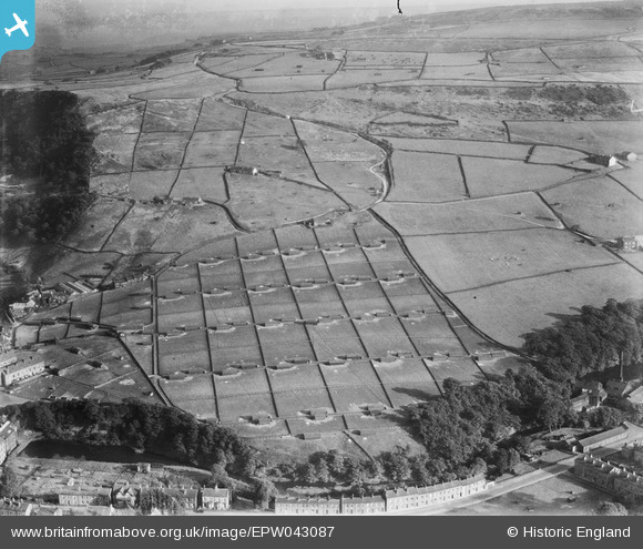
EPW043087 ENGLAND (1933). New House Poultry Farm, Mytholmroyd, 1933
© Copyright OpenStreetMap contributors and licensed by the OpenStreetMap Foundation. 2026. Cartography is licensed as CC BY-SA.
Nearby Images (4)
EPW043087

EPW043084

EPW043086

EPW043085

Details
| Title | [EPW043087] New House Poultry Farm, Mytholmroyd, 1933 |
| Reference | EPW043087 |
| Date | September-1933 |
| Link | |
| Place name | MYTHOLMROYD |
| Parish | HEBDEN ROYD |
| District | |
| Country | ENGLAND |
| Easting / Northing | 401100, 425300 |
| Longitude / Latitude | -1.9833273192796, 53.723879993872 |
| National Grid Reference | SE011253 |
Pins

N166le |
Wednesday 1st of April 2026 06:12:33 PM | |
|
N166le |
Wednesday 1st of April 2026 06:10:49 PM | |
|
N166le |
Wednesday 1st of April 2026 06:09:18 PM | |
|
N166le |
Wednesday 1st of April 2026 06:08:49 PM | |
|
N166le |
Wednesday 1st of April 2026 06:07:56 PM |