
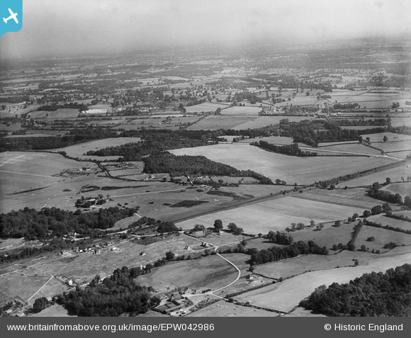
EPW042986 ENGLAND (1933). Denham Golf Course, Denham Green, from the south-west, 1933
© Copyright OpenStreetMap contributors and licensed by the OpenStreetMap Foundation. 2026. Cartography is licensed as CC BY-SA.
Details
| Title | [EPW042986] Denham Golf Course, Denham Green, from the south-west, 1933 |
| Reference | EPW042986 |
| Date | September-1933 |
| Link | |
| Place name | DENHAM GREEN |
| Parish | DENHAM |
| District | |
| Country | ENGLAND |
| Easting / Northing | 503040, 187807 |
| Longitude / Latitude | -0.51278612651377, 51.579220357637 |
| National Grid Reference | TQ030878 |
Pins

moses72 |
Thursday 27th of June 2013 12:52:43 PM | |
|
moses72 |
Thursday 27th of June 2013 12:50:53 PM | |
This was the site of No.1 Officer Cadet Battalion Royal Flying Corps during WW1. |
The Laird |
Thursday 3rd of July 2014 05:15:32 PM |
|
moses72 |
Thursday 27th of June 2013 12:44:15 PM | |
|
moses72 |
Thursday 27th of June 2013 12:40:12 PM | |
|
moses72 |
Thursday 27th of June 2013 12:39:36 PM | |
|
moses72 |
Thursday 27th of June 2013 12:38:07 PM | |
|
moses72 |
Thursday 27th of June 2013 12:36:57 PM | |
|
moses72 |
Thursday 27th of June 2013 12:34:47 PM | |
|
moses72 |
Thursday 27th of June 2013 12:33:53 PM | |
|
moses72 |
Thursday 27th of June 2013 12:32:38 PM | |
|
moses72 |
Thursday 27th of June 2013 12:31:42 PM |
User Comment Contributions

Higher Denham estate being developed on the site of what was Denham Army Camp. The road configuration of the estate conforms to that of the WW1 hutted camp. 16th (Church Lads Brigade) Battalion, The King's Royal Rifle Corps |
The Laird |
Tuesday 24th of June 2014 11:04:14 PM |