
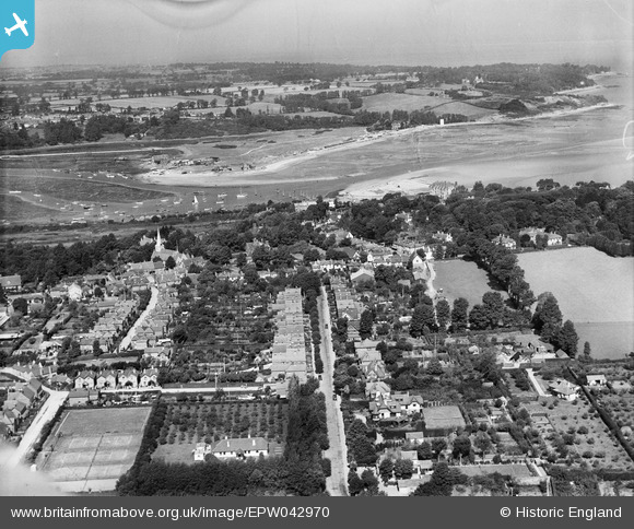
EPW042970 ENGLAND (1933). Foreland Road and environs, Bembridge, from the south-east, 1933
© Copyright OpenStreetMap contributors and licensed by the OpenStreetMap Foundation. 2026. Cartography is licensed as CC BY-SA.
Nearby Images (2)
EPW042970

EPW039638

Details
| Title | [EPW042970] Foreland Road and environs, Bembridge, from the south-east, 1933 |
| Reference | EPW042970 |
| Date | August-1933 |
| Link | |
| Place name | BEMBRIDGE |
| Parish | BEMBRIDGE |
| District | |
| Country | ENGLAND |
| Easting / Northing | 464610, 88062 |
| Longitude / Latitude | -1.0852553009259, 50.688040900182 |
| National Grid Reference | SZ646881 |
Pins
Be the first to add a comment to this image!